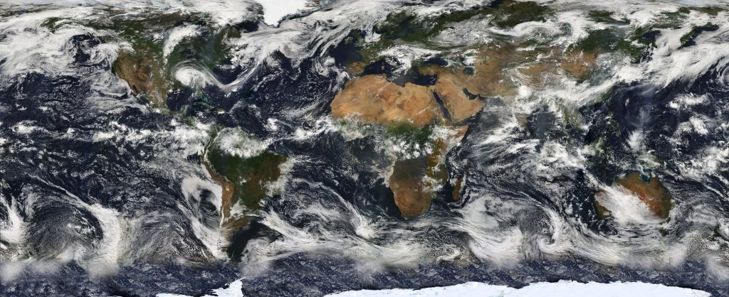
Climate Data Records from Satellites: A Metrological Approach
To ensure that data sets can be relied upon, it is important to have a full understanding of the uncertainties. Currently, however, uncertainty information in historical satellite data is either absent or lacks rigour. While historical sensors can provide critical information of the state of the planet during a period of relatively rapid climatic change, science and society need to know the degree of certainty that can be ascribed to an environmental change inferred from historical Earth Observation data.
This is a problem to which metrology can provide solutions.
In this course, we will explore how approaches from metrology can help Earth Observation practitioners to develop quantitative characterisation of uncertainty in Earth Observation data. This course consists of two modules:
Module 1: Metrology in Earth Observation
Module 2: Developing a fundamental climate data record
The concepts in this course were developed over many years by National Physical Laboratory scientists working in collaboration with Earth Observation experts. This included work in the MetEOC series of projects. MetEOC-1 and MetEOC-2 were funded through EMRP, MetEOC-3 and MetEOC-4 through EMPIR. The EMPIR programme is co-financed by the Participating States and from the European Union’s Horizon 2020 research and innovation programme. The EMRP programme was co-financed by the Participating States and from the European Union’s FP7 research programme.
The core principles of this course were developed by the FIDUCEO project. FIDUCEO received funding from the European Union’s Horizon 2020 Programme for Research and Innovation, under Grant Agreement no. 638822 and was led by Chris Merchant and Jon Mittaz of Reading University.
These ideas have been further refined through the ESA projects FDR4ALT and FDR4ATMOS and through ESA’s QA4EO IDEAS+ programme.
The course was written using funding from MetEOC-3 and ESA’s QA4EO IDEAS+ programme.
Learning Outcomes
Understand the role of metrology in the analysis of historical satellite data
Understand the key principles of uncertainty analysis as they apply to satellite level 1 products
Be familiar with the steps presented for generating a fundamental climate data record